


The United States consists of 50 states spread across a large and diverse landscape, each with its own distinct shape and position. Here, you will find printable maps with simple outlines, blank layouts, and labeled versions that help ages 5–12 recognize state boundaries, locations, and overall map structure while coloring. The designs are arranged to move from basic shapes to more detailed maps for gradual learning.
Select PDF Size
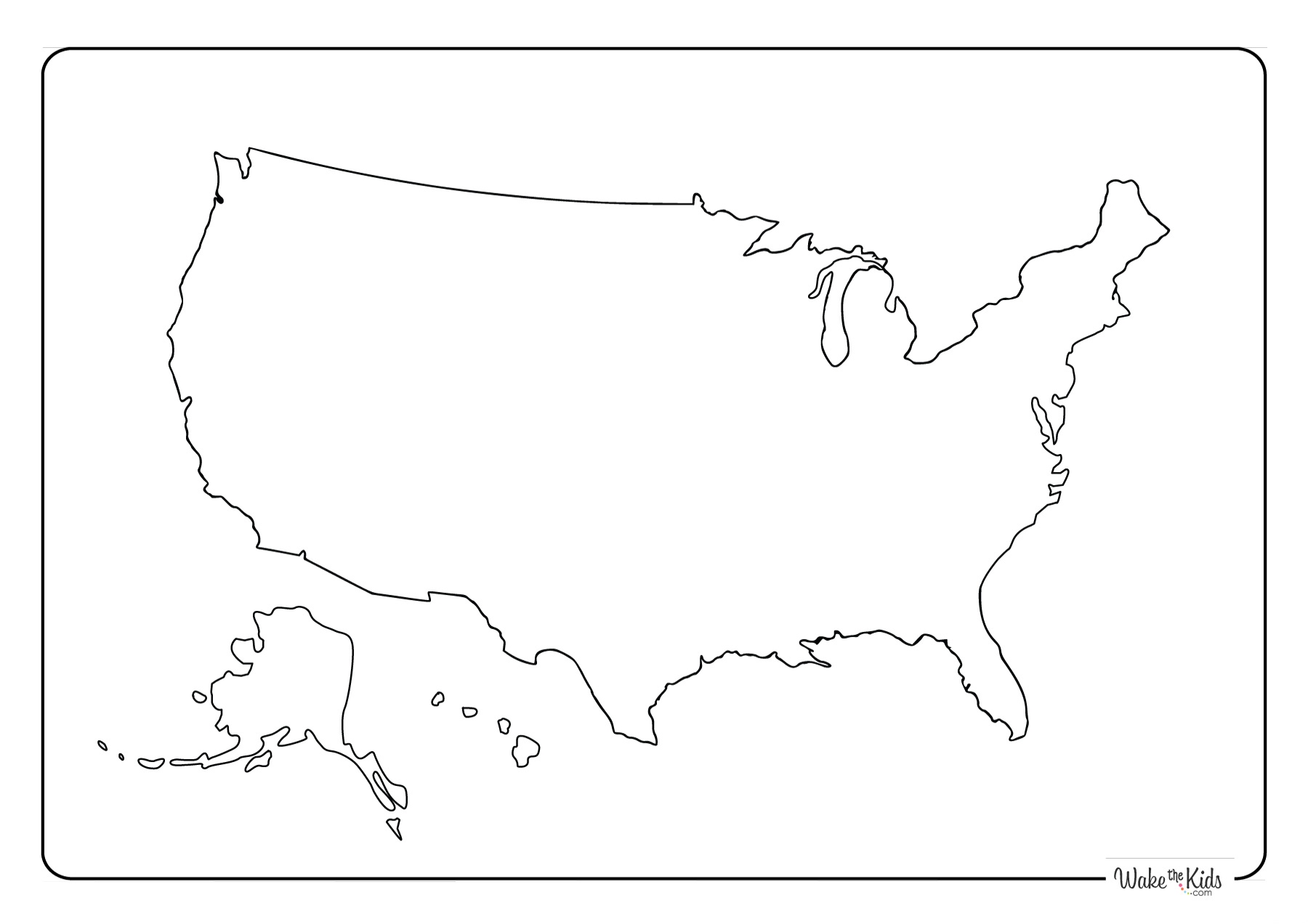
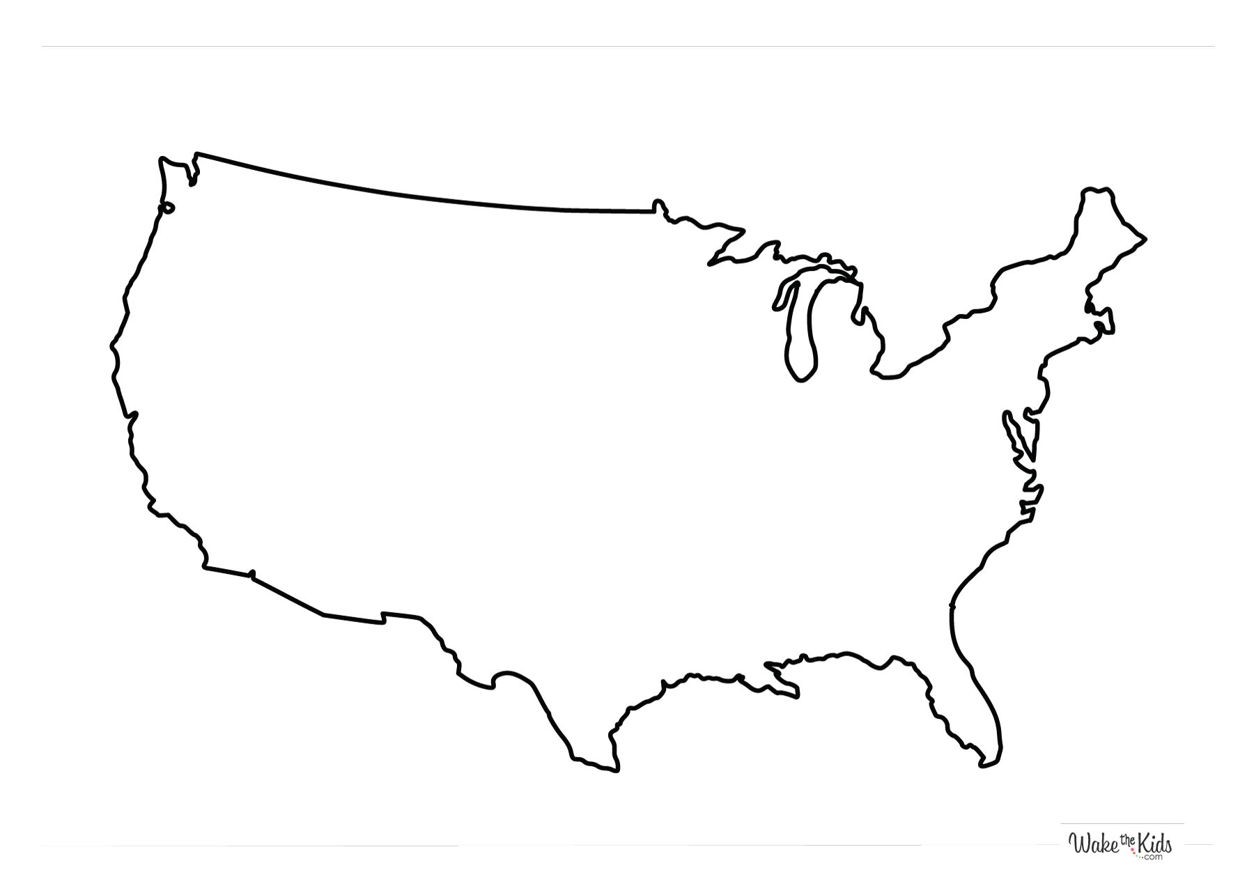
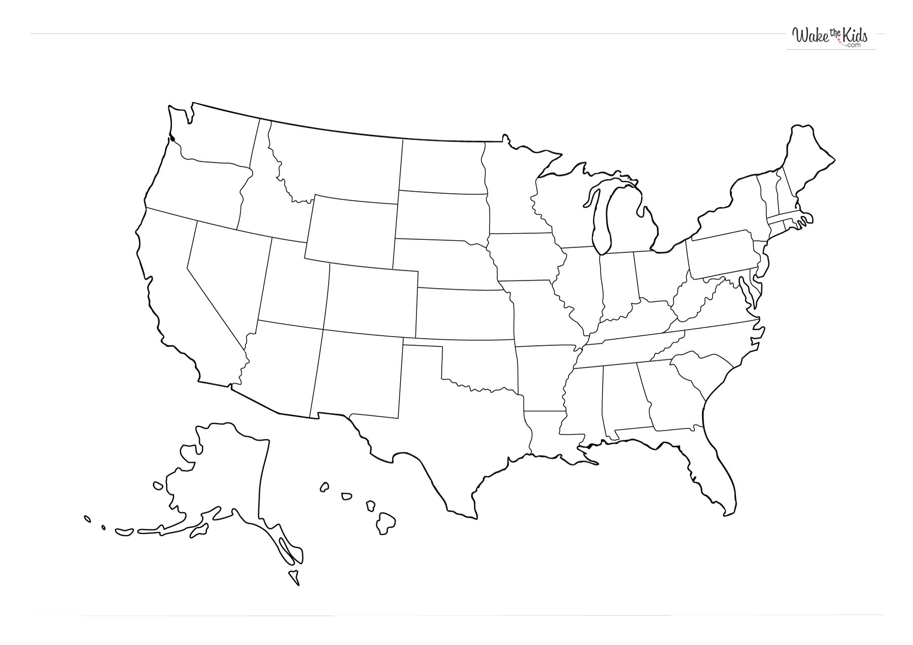
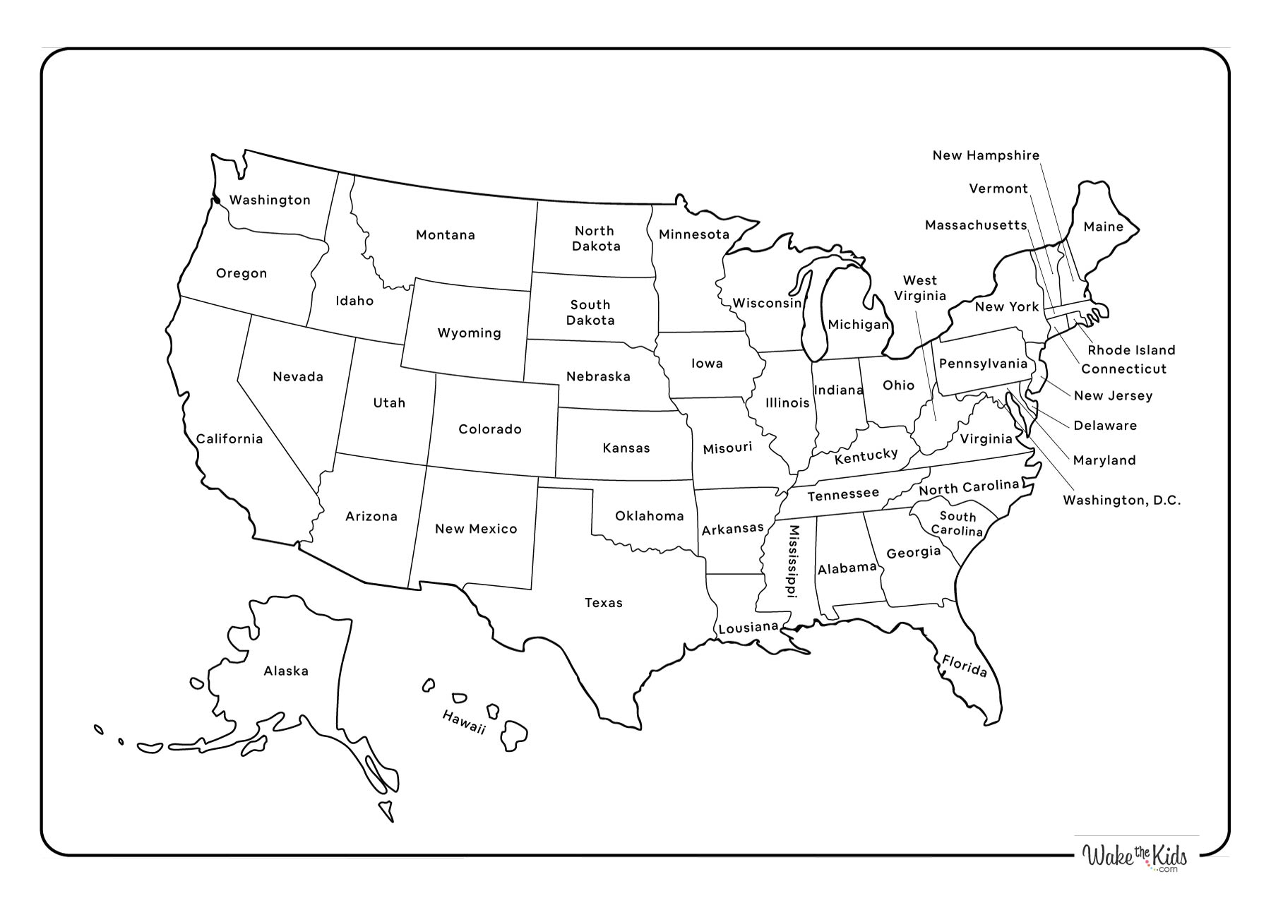
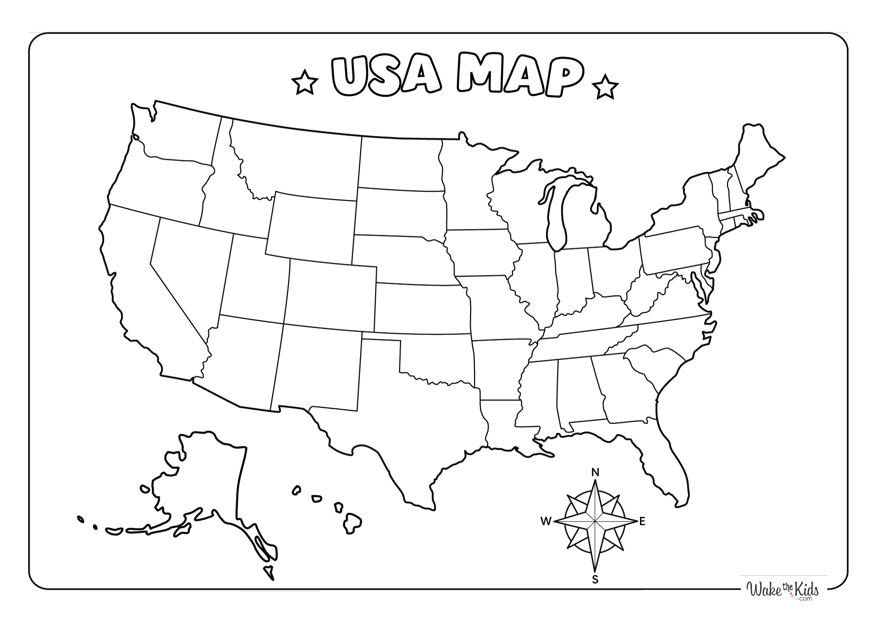
Each page includes clean outline maps, bordered state divisions, and labeled versions that support step-by-step familiarity with the map of the United States.
Select Age Group
Let's be social


Share Your Creativity
Showcase your coloring skills